
Chesapeake Neighbors by Block
Use sources that describe the block from different angles. Chesapeake GIS supplies parcel geometry and map context. Property information can connect a parcel to an owner, situs address, mailing address, assessment, and deed reference. The General Registrar is the lawful point of contact for voter-list inspection, while civic leagues offer community contacts rather than private rosters. Older household snapshots belong in regional directories and library collections. None of those sources proves every person who lives at a nearby address.
| Source | What It Shows About a Block | Access |
|---|---|---|
| GIS parcel map | Parcels, address points, lot lines, subdivisions, and map adjacency | Public web map and layers |
| Property roll | Owner, situs, tax-mailing field, assessment, transfer, and deed reference | City property services |
| Voter-list inspection | Permitted name, address, year-of-birth, gender, and district fields | General Registrar, subject to statute |
| Civic League Directory | Community organization contact paths and development resources | City directory and association inquiry |
| Historical directories | Period-specific subscriber or household evidence for an address | Wallace Room and regional collections |
The Chesapeake Property Information page points to the city’s property, tax, and GIS routes.
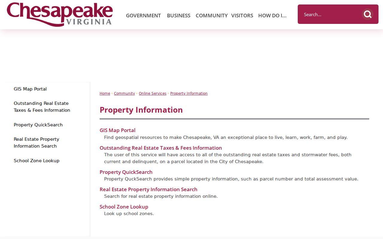
It is a useful starting point for a parcel identity, not a list of the people in the homes around it.
Map Chesapeake Neighbor Parcels
Open the address in the Chesapeake GIS Property QuickSearch, zoom to the selected feature, and click the parcel to open its detail. Turn on parcels, address points, lot lines, subdivisions, neighborhoods, and other relevant layers. The map’s selection arrows can move among selected features. QuickSearch uses percent signs around a street name to return matching street addresses, then requires a parcel click for details. Use By Shape when several adjacent parcels need to be selected together. The help material does not document a radius or buffer command for finding neighbors, so map adjacency and By Shape are the supportable methods.
- Search the known address or map-parcel number and use Zoom To for the correct feature.
- Click the address parcel, then turn on parcel, address-point, lot-line, subdivision, and neighborhood layers.
- Click each touching or immediately adjacent feature, or use By Shape to select a small group, and record the parcel identifiers.
- Open the property details for each parcel and keep owner, situs, mailing, deed, and transfer fields in separate notes.
GIS parcel lines are approximate spatial references, not an exact survey or a title opinion. For a whole named street instead of the immediate block, use the Chesapeake street directory records chain.
Chesapeake Neighbor Ownership Clues
A parcel card’s Full Address is the situs, the physical location tied to the parcel. Its Mailing Address is the tax correspondence destination and can point elsewhere. An owner may be an estate, trust, corporation, or person receiving tax notices at a different location. Those fields identify an ownership record and a way to locate the deed reference; they do not establish who occupies the property. Compare a transfer date, deed book and page, legal description, and map-parcel number before treating two property screens as the same record.
| Official record route | What it can and cannot establish |
|---|---|
| GIS and property roll | Shows parcel and owner information, but not a complete household roster. |
| Clerk deed index | Can verify a recorded party and legal description, but a party role is not proof of present occupancy. |
| Commercial address compilations | May combine stale, incomplete, or same-name data and usually do not supply the official source image. |
For a title question, the Chesapeake Circuit Court Clerk and Virginia SRA are the authoritative next steps. The Clerk’s records counter can provide copies when the online index lacks an image or a certified record is needed.
Chesapeake Neighbor Voter Limits
Virginia’s Citizen Portal is not a public neighborhood list. It is a self-lookup that asks for first name, last name, date of birth, the last four Social Security number digits, locality, and a certification. It can show the voter’s own registration, polling place, districts, absentee status, and voting history. The Chesapeake General Registrar may allow lawful inspection of registration lists with permitted name, residence address, year of birth, gender, and district fields. Social Security numbers, day and month of birth, protected addresses, and related confidential information are excluded.
Bulk voter lists are restricted by Virginia Code §24.2-405 to listed statutory recipients and purposes. Do not treat a self-lookup or a registrar inspection as authority to build a block roster. Election data can offer civic context, while private vote choices are never part of a neighbors search.
Note: Contact the Chesapeake General Registrar for the current inspection process rather than assuming a file or field remains available online.
Chesapeake Civic League Contacts
Civic leagues are the community layer around a Chesapeake block. The city provides a directory link and a Civic League Development Guide. The guide identifies the Chesapeake Council of Civic Organizations and directs a new league to begin with a registration form. These are ways to find a public contact or ask whether an organization keeps a contact list. They are not an open membership record, and a public directory should never be assumed to name households.
The Chesapeake Civic Leagues page is the city entry point for that directory and development information.
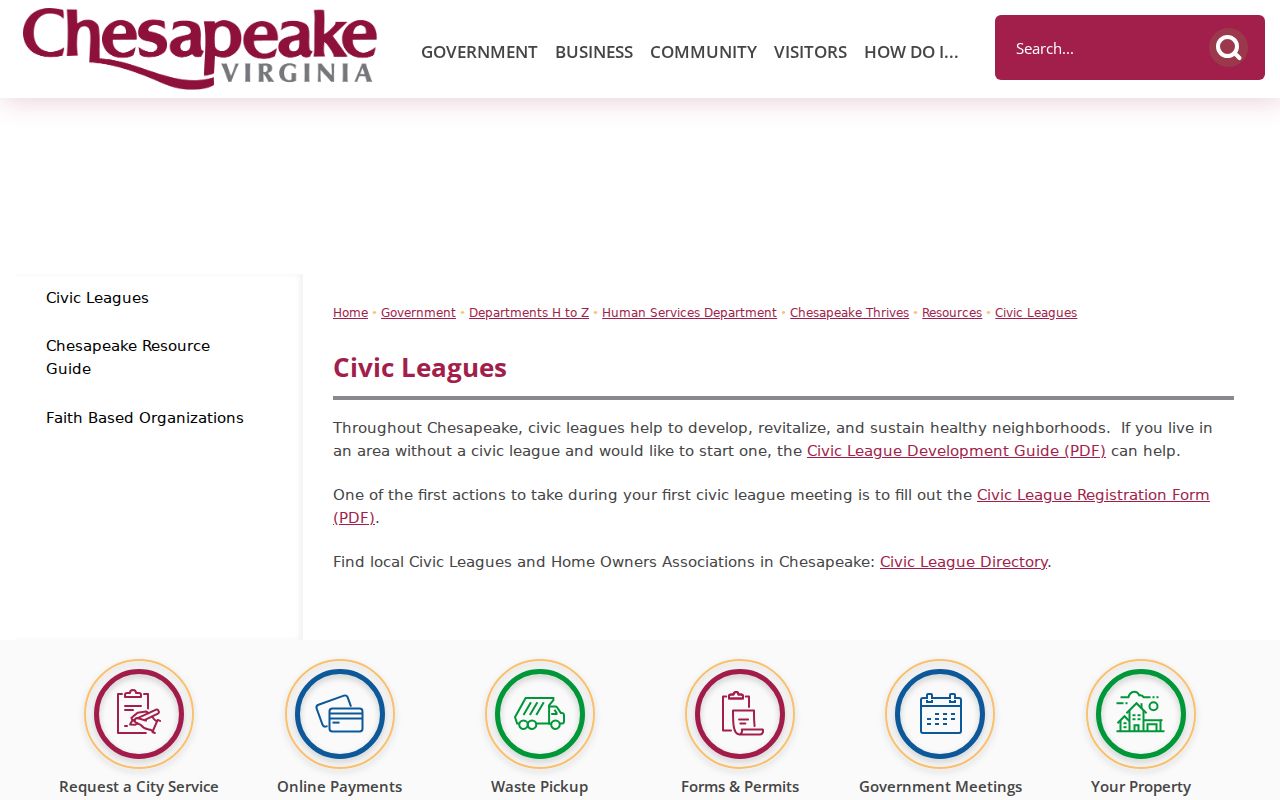
Use a league contact to learn which group serves an area, then respect the group’s own rules for public contact details.
| Community resource | Use for a block |
|---|---|
| City Civic League Directory | Find a city-provided community contact route. |
| Civic League Development Guide | Understand the city’s organization and registration process. |
| Chesapeake Council of Civic Organizations | Identify the umbrella organization named in the city guide. |
Chesapeake Neighbor Map Overlays
A block map can answer more than which parcel touches another. Chesapeake GIS and Planning layers can add address points, lot lines, subdivisions, neighborhoods, planning areas, boroughs, zoning, city boundary, voting precincts, polling places, flood zones, watersheds, historic overlays, cemeteries, and development context. Turn on only the layer that answers the question at hand. A neighborhood layer can explain a community label. A precinct layer can show election geography. A historic overlay can point to the right preservation source. None changes the legal description or proves a person occupies a home.
Layer dates deserve the same care as deed and parcel dates. The Planning GIS service says update schedules differ among layers, and the January 29, 2026 update followed adoption of the 2045 Comprehensive Plan. Record the layer name and the date checked when a boundary affects the research. For a place near a cemetery or historic resource, the city GIS can locate the parcel, while Historical Services, the Wallace Room, a church, or a caretaker may hold the actual historical context. The public cemetery layer is not an interment-name search.
Use the overlay as a locator, then return to the appropriate custodian for the underlying record. That keeps a nearby parcel, a planning label, and a household claim from being treated as the same fact.
Chesapeake Block Activity Records
The city’s eBUILD Chesapeake route provides map- and parcel-based project status, permits, development, plan-review, inspection, and service information. A dated project can help explain construction or a visible change near the block, but a project applicant or owner is not automatically the person living at the address. The official page does not publish a complete public field inventory, so do not assume every address, permit, or applicant field will be visible.
Service-request records can carry a status, number, property address, dates, assignment area, resolution, nearby-items function, and related materials. Chesapeake states that complainant information for certain criminal, zoning, building-code, and fire-code matters can be confidential under FOIA limits. Follow the record’s address and date, not the identity of a person who reported a concern.
Chesapeake Neighboring South Norfolk
Some nearby blocks have an older geographic identity that changes the record trail. South Norfolk developed as a gridded streetcar suburb from the 1890s through the 1930s and became part of Chesapeake in the 1963 consolidation. An older deed, directory, court item, or newspaper can therefore use South Norfolk or Norfolk County instead of Chesapeake. Search the historic label as well as the current street name when the date points to that period.
Chesapeake Planning GIS was updated on January 29, 2026 after the 2045 Comprehensive Plan was adopted. Its Planning GIS layer notice warns that update schedules differ by layer. A boundary, neighborhood, or precinct overlay is useful context, but it should not override the deed, parcel, or historic source that fits the record date.
Chesapeake Neighbor Privacy Limits
Private household information, utility accounts, delivery data, and DMV personal data are not public block records. Court files can also be sealed or restricted, and juvenile, adoption, and protected family matters do not become searchable because an address is known. The Virginia Address Confidentiality Program, Code §2.2-515.2, protects a qualifying participant’s actual address through a substitute-address and mail-forwarding program. A protected location is not something a map, request, or civic directory should expose.