
Trace a Chesapeake Street Directory
A street-by-street search begins in Chesapeake GIS Property QuickSearch. Its help page documents an address route, a map-parcel route, and a useful whole-street query: place percent signs around the street name, such as %STREET NAME%. Results only zoom the map to a feature. Click the parcel to open its details. Record the map parcel, full address, owner field, legal description, transfer date, deed book and page, and mailing fields before moving on. Keep the physical address and mailing address in separate notes.
- Search the address or use the documented wildcard for the named street, then click each returned parcel.
- Save the parcel number, map parcel number, situs address, owner label, transfer date, and deed book/page reference.
- Search the owner as grantee in the Chesapeake Circuit Court Clerk's SRA index near the transfer date.
- Read the prior-instrument reference and legal description, then repeat the grantee search for the earlier owner when title history is needed.
- Use public registrar inspection or dated directories only for the limited address evidence they actually provide.
A useful result is an evidence trail, not a household roster. It should say which date, parcel, source, and party role supports each observation.
Search Chesapeake Streets in GIS
Chesapeake GIS QuickSearch help describes the map tools behind a careful street search. Users can turn layers on or off, pan and zoom, select by shape, cycle through visible selections, measure, and copy coordinates. Parcel, address-point, subdivision, zoning, easement, street, neighborhood, planning-area, precinct, and city-boundary layers supply context. The help also warns that parcel lines are not exact. Use the Clerk, not a map line, for the official land record.
| QuickSearch control | Use on a street | Important limit |
|---|---|---|
| Address | Find one physical address or unit | Click the feature after the map zooms |
| Map Parcel Number | Return to a known parcel | Use the identifier shown in the result |
| Street wildcard | Use %STREET% for matching addresses | Each feature still needs review |
| By Shape | Select several visible parcels at once | It is a map selection, not a title search |
| LayerList and selection arrows | Compare parcels, streets, and overlays | Layer timing can differ by source |
The Chesapeake GIS QuickSearch help page is the source for the street wildcard and map-selection instructions.
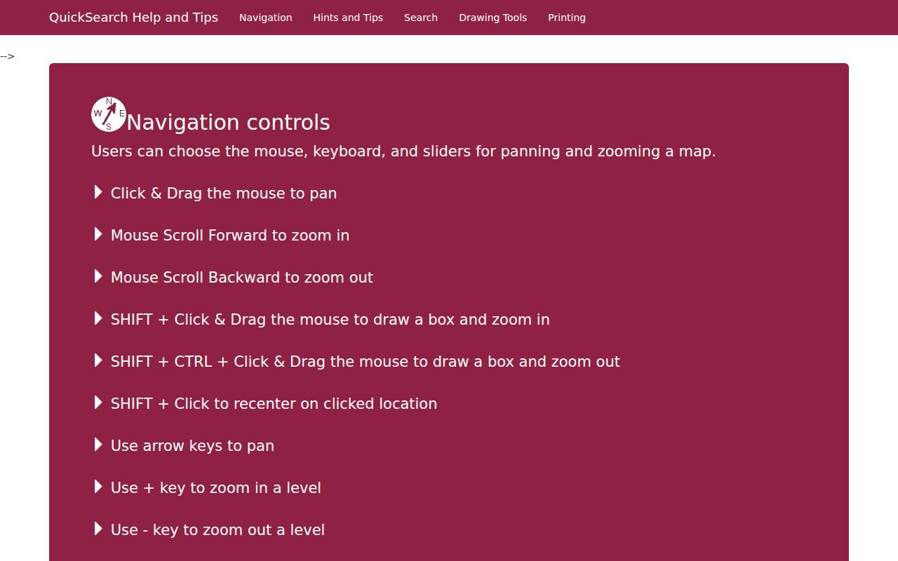
Open the selected parcel after the map zooms, since the map result alone does not reveal the parcel record.
Read Chesapeake Street Parcel Fields
The public parcel layer gives a detailed current record for each mapped property. A parcel number and map parcel number are identifiers. The owner label, full address, ZIP, unit, project, property class, legal description, purchase date, deed book/page, consideration, map-book page, mailing care-of line, mailing city and state, and building, land, and total assessments are all published fields. The field set ties a street address to a recorded-instrument reference without treating the GIS card as the instrument itself.
| Parcel field | What it can establish |
|---|---|
| Parcel Number and Map Parcel | Map identifiers for matching a card, map, and deed trail |
| Full Address and Unit | The parcel's physical situs or location address |
| Owner and Mailing fields | Assessment ownership and tax-correspondence destination, kept distinct |
| Legal Description and Map Book Page | Lot, subdivision, or other land description to compare with plats |
| Transfer and Deed Book/Page | Starting references for a Clerk index search |
| Assessment fields | Current assessed components, not a list of occupants |
Situs versus mailing address. The situs is the physical parcel location. The mailing address is where tax or assessment correspondence goes. Either may differ from where a named owner actually lives, so neither field is proof of present occupancy.
Follow Chesapeake Street Deed Chains
The Chesapeake Circuit Court Clerk keeps the land-record spine for the independent city. The Clerk's Records, Research & Copies page reports deed indexing and imaging from 1637 to current, wills from 1755 to current, plats from 1879 to current, judgment indexing from 1987, and financing-statement indexing from 1998. Virginia SRA provides the remote route. Chesapeake reports a paid remote land-record subscription, while Virginia says free index-only access can be enabled by a clerk. Check the live service before assuming image access. Official copies remain available through the Clerk's counter at 307 Albemarle Drive, Suite 300A.
Start with a GIS deed book/page or transfer date. In SRA, search the current owner as grantee and record the document type, recording date, book/page or instrument number, legal description, and the grantor. The grantor is the party conveying an interest; the grantee receives it. Search that grantor as a grantee in an earlier transaction, checking the legal description and prior instrument before deciding the chain follows the same land. A trustee, estate, lender, or company can appear as a party without being a resident.
For an early result, try Norfolk County or South Norfolk as well as Chesapeake. The 1963 consolidation changed the jurisdiction label, not the physical tract. The Library of Virginia's Norfolk County microfilm and map-book indexes are the fallback when the modern street address disappears from older records. The Clerk charges $0.50 per page and $2 for certification according to its records page.
Chesapeake Street Plats and Lots
A plat is a recorded map that can connect a road-facing address to a lot, block, subdivision, or map-book reference. Chesapeake's plat indexing and images begin in 1879 in the Clerk's stated coverage. The Library of Virginia has Norfolk County map indexes for 1819 through 1955 and a 1956 through 1968 City of Chesapeake run, followed by Chesapeake maps and plats for 1969 through 1975. These are useful bridges when an older deed contains a legal description but no familiar modern address.
Compare the deed's lot or block, subdivision name, map-book page, adjoining owners, and road calls with the QuickSearch parcel fields. Rural tracts can use metes-and-bounds language instead of a numbered lot. In that form of description, lines may follow a road, waterway, survey call, or neighboring landowner. The map explains location context, while the deed and recorded plat establish the document trail. Do not treat a current GIS boundary as a certified survey.
South Norfolk's older gridded streets and Chesapeake's rural tracts need different reading habits. A subdivision plat may make a modern block easy to recognize, while an older tract may be located only through the legal description and adjacent owners. Keep both the street address and the parcel identifiers in a research note so a later map change does not break the chain.
Chesapeake Street Directory Records
Address-keyed sources answer different questions. The parcel layer is strongest for a current land reference. The Clerk's index supports title research. A plat connects a subdivision lot to the written legal description. A permit or service request can date an event at a location, but it does not identify all people who lived there. The street directory becomes more reliable when each source is used for its own purpose.
| Address record | Custodian | Street evidence | Access route |
|---|---|---|---|
| Assessment parcel | Chesapeake Real Estate Assessor and GIS | Owner, situs, mailing, ZIP, legal, transfer, assessment | Property Information, CivQuest, or public map |
| GIS layers | Chesapeake GIS | Address points, parcels, subdivisions, zoning, boundaries | QuickSearch and public map layers |
| Deed and land index | Circuit Court Clerk | Grantor/grantee chain, instrument, legal description | SRA, subscription where needed, or counter |
| Plats and map books | Clerk and Library of Virginia | Lots, blocks, subdivision and road layout | SRA from 1879 and historic microfilm |
| Permit or code record | Development and Permits or Customer Contact Center | Project, inspection, or address chronology | eBUILD map/account and service-request channels |
| Historic directory | Wallace Room, LOC, or FamilySearch | Dated subscriber or occupant snapshot | Reading room or year-specific digital source |
Parcel identifiers and legal descriptions are the strongest bridge between these sources when a road name, block, or jurisdiction label changes.
Chesapeake Address Project History
eBUILD Chesapeake is the city's 24-hour gateway for planning, development, permits, and inspections. Its public description confirms map- or parcel-based project searches, project and permit status, plan-review functions, inspection scheduling, plans, and review comments. The city did not publish a complete text list of the public filter controls or a historical start date, so a particular address search should not be described as more complete than the live portal shows.
The eBUILD Chesapeake access page is the source for the map-based project-search and permit-access description.
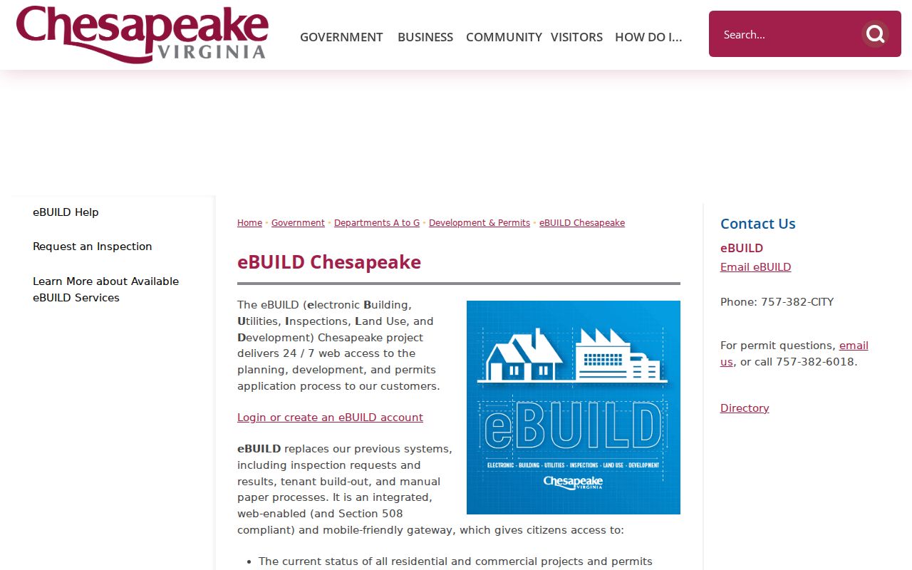
A permit, inspection, or project entry can help date work at a parcel. It is evidence of a project record, not proof that a named applicant occupied the property.
For code concerns, the Customer Contact Center accepts online requests, calls at 757-382-2489, and email at customercontactcenter@cityofchesapeake.net. Its sample request screen includes an address, status, dates, attachments, assignments, and nearby items. The city says complainant information in zoning, building, fire-code, and criminal-investigation matters can be confidential.
Chesapeake Street Voter Access
Virginia's Citizen Portal is a personal self-lookup. It asks for first and last name, date of birth, the last four Social Security digits, locality, and a certification before it returns that voter's registration information. It is not a public street list. The Chesapeake General Registrar provides the local access route at 411 Cedar Road, Chesapeake, by phone at 757-382-8000, with weekday hours listed as 8 a.m. to 5 p.m.
Virginia law allows public inspection of specified registration information at the registrar, while excluding Social Security numbers, day and month of birth, protected P.O.-box residence addresses, and other protected material. Bulk voter lists have restricted statutory users and purposes under Code of Virginia §24.2-405. A street search should therefore never promise a downloadable list of people at every house.
Chesapeake Street Names Before 1963
Chesapeake began as the consolidation of Norfolk County and South Norfolk in 1963. South Norfolk had developed as a gridded streetcar suburb from the 1890s through the 1930s, while other parts of the present city retained rural roads and community labels. A historical hit may therefore use Norfolk County, South Norfolk, Great Bridge, Deep Creek, Western Branch, Indian River, or another community name rather than Chesapeake.
For a dated address trail, the verified 1921 Hill Norfolk and Portsmouth directory and a 1964 regional Norfolk, Portsmouth, Chesapeake, and Virginia Beach telephone directory are useful starting volumes. They are not evidence of a continuous Chesapeake-only directory run. The historical volumes and their access limits are described in the Chesapeake city directory collections.
Limits of a Chesapeake Street Directory
Property, deed, and map records are public land records, not a complete account of a household. They do not identify every person living at a location. Driver address information is restricted, utility customer accounts are not a public street roll, and unlisted telephone information is private. Address Confidentiality Program participants, protected voters, juvenile matters, sealed court records, and restricted vital records can also limit what is visible.
- Parcel
- A mapped unit of land used for assessment and identification.
- Situs address
- The physical location tied to a parcel, distinct from a tax mailing address.
- Plat
- A recorded map that can show lots, blocks, subdivision layout, or road context.
- Criss-cross directory
- A historical street-and-house section searched by address rather than surname.
Lawful use. Chesapeake address records support personal, lawful research and property history. Virginia law prohibits stalking and related harassment; do not use an address trail to harm, intimidate, or pursue another person.