
Chesapeake ZIP Directory Coverage
Six standard ZIPs are verified for Chesapeake: 23320, 23321, 23322, 23323, 23324, and 23325. The area labels below are orientation aids drawn from city and Postal Service material. They are not a promise that every address in a community receives that ZIP. The Postal Service address result controls for an individual delivery point and for ZIP+4. Chesapeake's size, its urban north, rural south, and borders with several other cities make that check important.
| ZIP | Areas commonly associated | Post office or station | Local note |
|---|---|---|---|
| 23320 | Central Chesapeake and Greenbrier | Chesapeake Main Office, 1425 Battlefield Blvd N | Verify the street and ZIP+4 for delivery |
| 23321 | Western Branch and northwest Chesapeake | Jolliff Station | Near Suffolk and Portsmouth postal geography |
| 23322 | Great Bridge, southern-central area, municipal center | Great Bridge Station | Rural roads and subdivisions can use differing labels |
| 23323 | Deep Creek and east-central Chesapeake | Deep Creek Station | Confirm the boundary at street level |
| 23324 | South Norfolk and nearby northern area | South Norfolk Station | Historic identity survives in a postal label |
| 23325 | Indian River and northeast Chesapeake | Indian River Station | Verify each address with USPS |
Official materials also reference 23326, 23327, and 23328. The research did not confirm 23326 or 23327 as active standard Chesapeake ZIPs, so they are not general coverage areas here. City addresses use 23328 for a P.O. Box and administrative mailing reference. Do not map it as a residential area without a current USPS result.
Chesapeake ZIP Directory Workflow
Use a ZIP to organize a place search, then move from postal geography to a parcel or an official record. The method stays honest about what each source returns. A USPS answer verifies delivery. GIS layers compare geography. A parcel card provides land and assessment fields. None of these sources is a ZIP-wide resident file.
- Enter the full street address, city, and state in USPS ZIP Lookup to obtain the current ZIP and ZIP+4.
- Turn on ZIP, city-boundary, street, neighborhood, and parcel layers in Chesapeake Planning GIS to see whether the postal area crosses another boundary.
- Click a relevant parcel in QuickSearch and record its stored ZIP, full address, owner field, legal description, and deed reference.
- Use the Registrar or statewide election statistics only through their documented access rules. The Citizen Portal does not offer a public ZIP-wide voter list.
Once a ZIP has narrowed the area, the Chesapeake street directory has the address-by-address parcel and deed method. ZIP results should not replace that more precise work.
Verify Chesapeake Postal Codes
USPS ZIP Lookup has two documented modes. Enter a residential or corporate street address with city and state to retrieve a specific current ZIP. Or enter a city and state to see ZIPs associated with that city query. The first route is the correct choice when checking a single Chesapeake address. A city list is useful for orientation but is not a municipal boundary map.
| USPS entry route | Information supplied | How to use it |
|---|---|---|
| Street address, city, state | Current delivery ZIP and ZIP+4 | Use for a precise mailing address |
| City and state | ZIPs associated with the postal city query | Use to review the local inventory, then verify the street |
| Historic postal research | Older postal reference material | Do not substitute it for the current delivery result |
USPS Postmaster Finder is useful for historical postal research but warns that recorded ZIP information may no longer be current. For present-day use, the address result is the authority.
Chesapeake Parcel ZIP Records
Chesapeake Property Information links the GIS map portal, Property QuickSearch, real-estate property information, and property-tax routes. The public parcel layer stores a ZIP with the full address and also publishes owner, unit, legal description, transfer date, deed book/page, consideration, map-book page, mailing fields, and assessment components. It is a strong parcel-by-parcel tool once USPS has checked the postal address.
| Portal route or field | ZIP-oriented use | Caution |
|---|---|---|
| QuickSearch address | Find a mapped address and inspect its stored ZIP | Address or map-parcel search is documented |
%STREET% wildcard | Compare matching addresses and their stored ZIP fields | Click each feature for details |
| Map Parcel Number | Return to a known property record | Use the parcel identifier exactly as displayed |
| ZIP result field | Review the ZIP carried by a parcel card | A public ZIP-only filter was not text-verified |
| Planning GIS layers | Compare ZIP polygons with parcels and city limits | Layer update schedules differ |
The City's Property Information page is the source for the GIS and property-search routes.
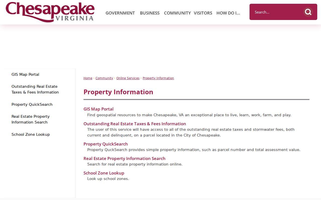
The property-information screen connects the postal starting point to parcel research. It does not document a ZIP-only public property filter, so use individual parcel results and map layers rather than promising a bulk query.
Chesapeake ZIP Boundary Limits
ZIPs are delivery routes, not city polygons. A Chesapeake mailing address near Portsmouth, Norfolk, Virginia Beach, or Suffolk can carry a postal name or ZIP that does not match the city line. The reverse can happen in Chesapeake's rural and waterfront areas. Compare the city's ZIP, boundary, neighborhood, planning-area, street, and parcel layers before using a ZIP as a geographic conclusion. A ZIP alone does not prove city residence or current occupancy.
- ZIP and ZIP+4
- A ZIP directs mail to an area; ZIP+4 adds a more specific delivery segment. USPS assigns both from the complete address.
- P.O. Box ZIP
- A ZIP used for post-office boxes or administrative mail, not evidence of a residential delivery area.
- Unique ZIP
- A postal assignment associated with a single organization or high-volume recipient when USPS designates one.
- Carrier route
- A delivery grouping used inside postal operations, not a municipal neighborhood or legal boundary.
Boundary check. Western Branch's 23321, South Norfolk's 23324, and the other area associations are useful local labels. Confirm an exact street through USPS and GIS before relying on one.
Map Chesapeake ZIP Layers
Chesapeake QuickSearch help confirms address and map-parcel searching, the percent-sign street wildcard, By Shape selection, layer controls, zooming, measurement, and clicking a parcel for details. Planning GIS also lists ZIP Codes, city boundary, neighborhoods, planning areas, precincts, polling places, streets, parcels, and environmental overlays. A January 29, 2026 planning update states that layer schedules vary, so a map should be checked against the current service when a boundary matters.
The official Chesapeake GIS help screen shows the search and selection functions used to inspect a ZIP-area parcel.
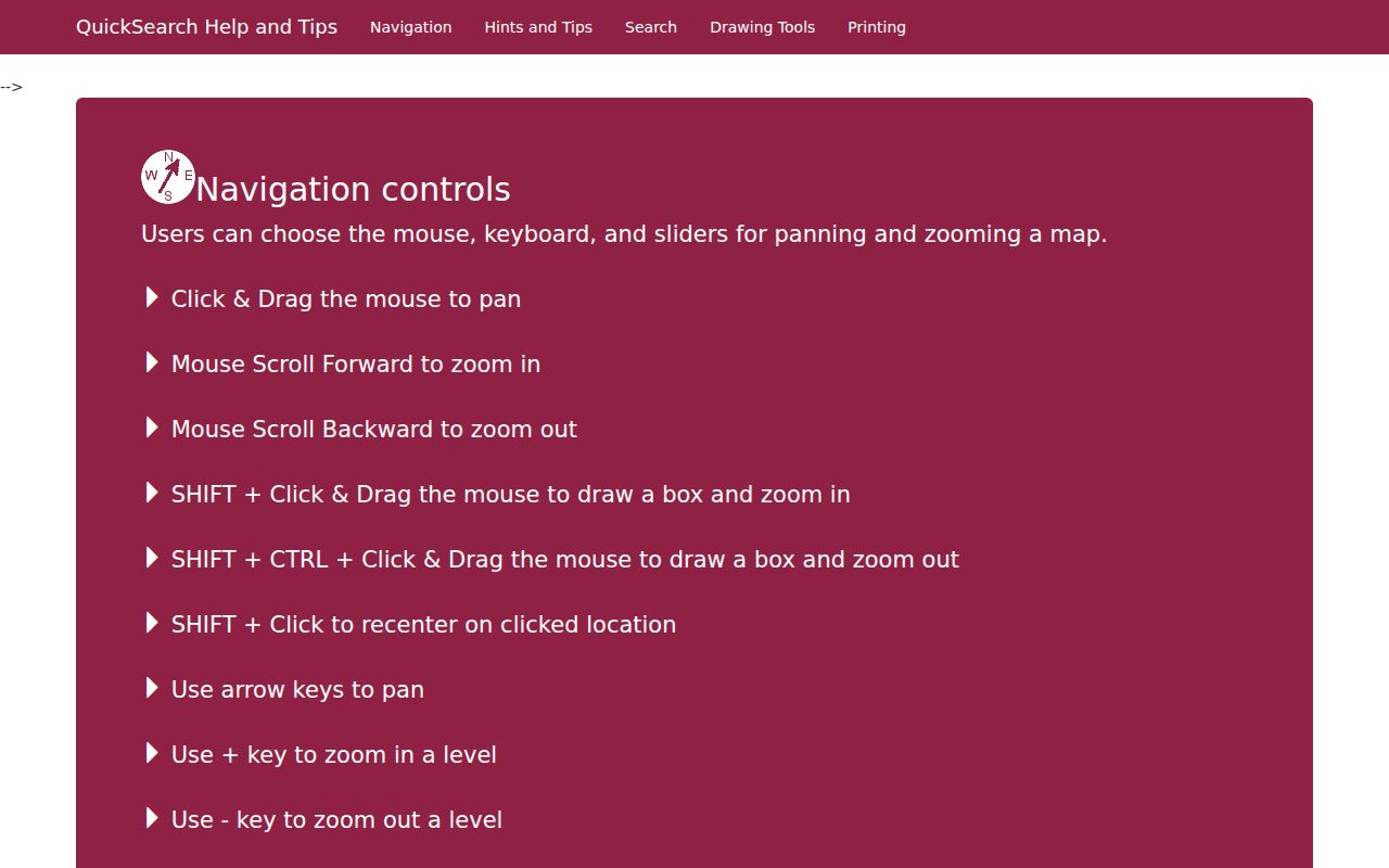
Map layers add spatial context, but the help cautions that parcel lines are not exact. Use a survey, recorded plat, or Clerk-held record when the precise legal line is needed.
Chesapeake ZIP Search Results
Different Chesapeake tools return different kinds of ZIP evidence. USPS is the source for an active delivery assignment. Planning GIS is the source for a visual comparison of postal and local geography. QuickSearch returns stored parcel fields after an address or map-parcel search, while the public interface did not document a ZIP-only filter. Census ZCTAs can support broad statistical research, but they are generalized statistical areas rather than delivery boundaries.
| Research task | Best local source | What the result provides | Limit to retain |
|---|---|---|---|
| Check one delivery address | USPS ZIP Lookup | Current ZIP and ZIP+4 | The delivery result controls |
| Review the city inventory | USPS city/state mode | ZIPs tied to the postal-city query | Postal list is not a boundary list |
| Compare parcels and boundaries | Chesapeake Planning GIS | ZIP polygons, parcels, streets, neighborhoods, and city line | Map-layer schedules vary |
| Inspect one property | QuickSearch parcel layer | Owner, address, ZIP, deed, legal, and assessment fields | No public ZIP-only control was text-verified |
| Review election geography | Election statistics and precinct layers | Aggregate locality or precinct context | No general individual ZIP list |
A ZIP result should therefore be written down with its source and date. That small record distinguishes an active postal answer from a map label, a parcel attribute, or a statistical estimate, and helps when sources appear to conflict.
Chesapeake ZIP Election Limits
Virginia's Citizen Portal is a self-lookup, not a ZIP resident directory. It requires a first name, last name, date of birth, last four Social Security digits, locality, and a certification. Its result can display the voter's registration status, polling place, districts, absentee status, and voting history. Chesapeake's General Registrar handles local registration and election records at 411 Cedar Road and lists 757-382-8000 for contact.
Virginia permits public inspection of limited registration information at the registrar and restricts bulk lists under Code of Virginia §24.2-405. The Department of Elections publishes aggregate locality and precinct statistics, while GIS supplies polling-place and precinct geography. Neither source creates a general public list of people by ZIP.
Chesapeake Postal History Labels
Postal labels are newer than many local records. Chesapeake formed in 1963 through consolidation of Norfolk County and South Norfolk. South Norfolk had been a town in 1919 and an independent city in 1950, and its gridded core grew in the streetcar era. A family, deed, directory, or map may therefore use South Norfolk, Norfolk County, Great Bridge, Deep Creek, Western Branch, Indian River, or another community name where a current search uses a ZIP.
For historical work, begin with the road, community, predecessor jurisdiction, and date. The verified 1921 Hill Norfolk and Portsmouth directory and the 1964 regional telephone directory predate or closely follow consolidation, but neither supports an invented continuous Chesapeake run. Census ZCTAs are also generalized statistical geography, not exact Postal Service delivery boundaries.